Hiking the Drakensberg Mountains: The Giant’s Cup Trail
Into the wild
Have you ever experienced the rugged beauty of the Drakensberg mountains? Green hillsides, snow-capped peaks, rocky outcrops - It’s an explorer’s paradise. The Giant’s Cup Trail is among the best ways to experience it firsthand, taking you on foot through what’s known as “the lower berg” over the course of five days. Now, let it be known from the outset - we are not expert hikers. While we try and take our health seriously, we are not particularly athletic. This was the first time either of us had taken on a multi-day hike since we were teenagers and it was a real challenge. That said, it was one of the most exhilarating and rewarding things we have ever done and we’re already planning the next one! Come see how it went.
The way is marked by these white bootprints
N.B. The Giant’s Cup Trail, which winds around from Sani Pass to Bushman’s Nek, is not a circular trail, so you’ll need to arrange transport for when you’ve completed your journey. We drove to Bushman’s Nek and parked our cars there for the duration of the hike, using Mondli Giants Shuttle to get back to Sani Lodge.
You can contact them and arrange transport: +27793 172 616
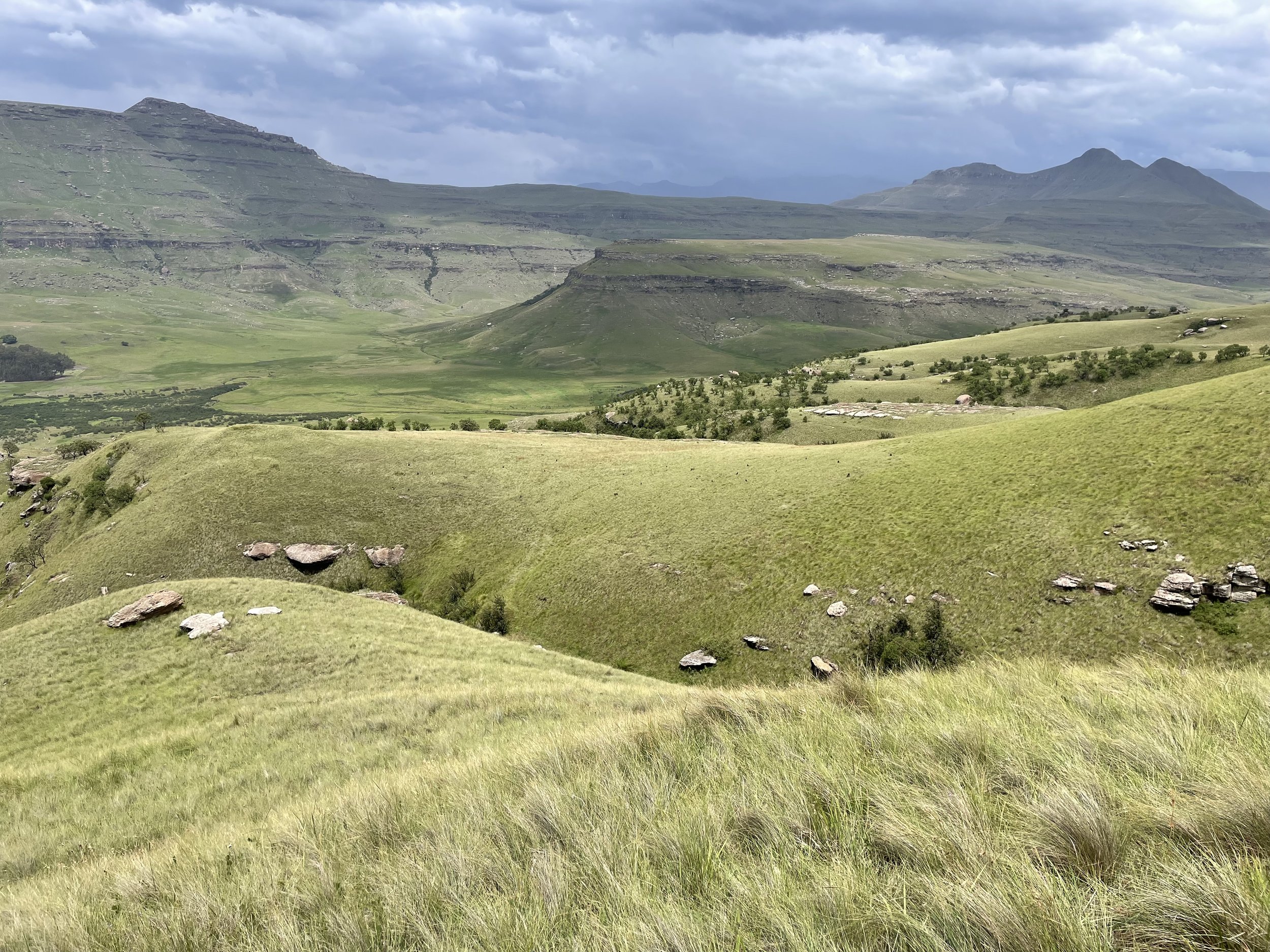
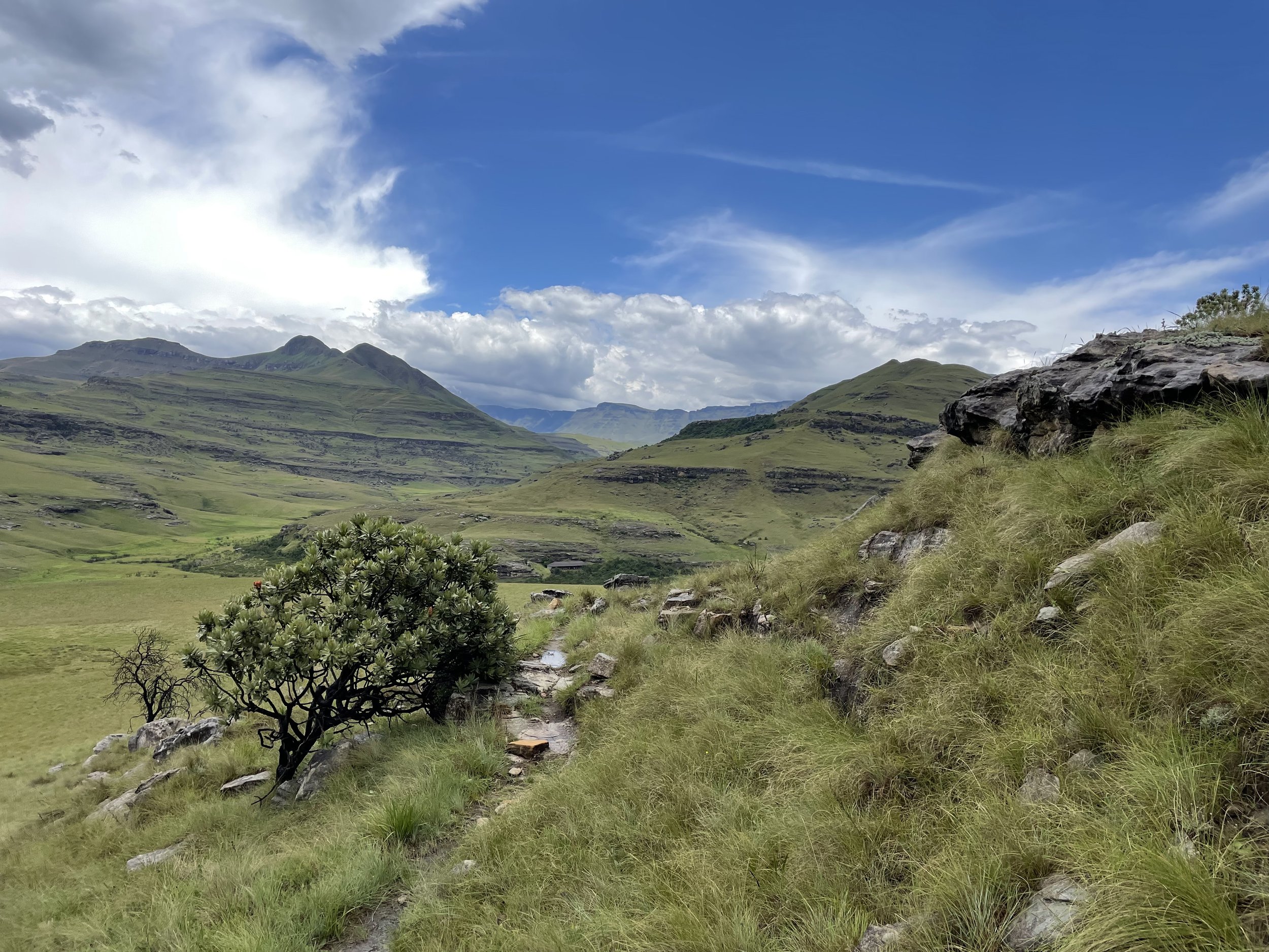
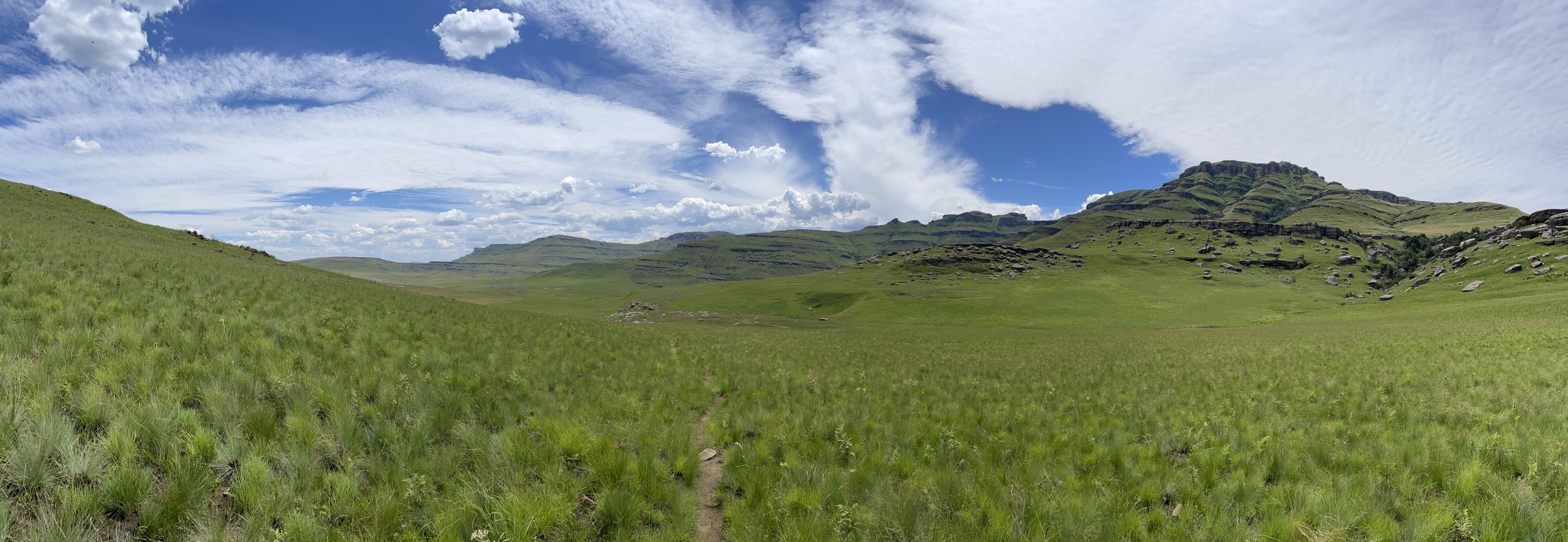
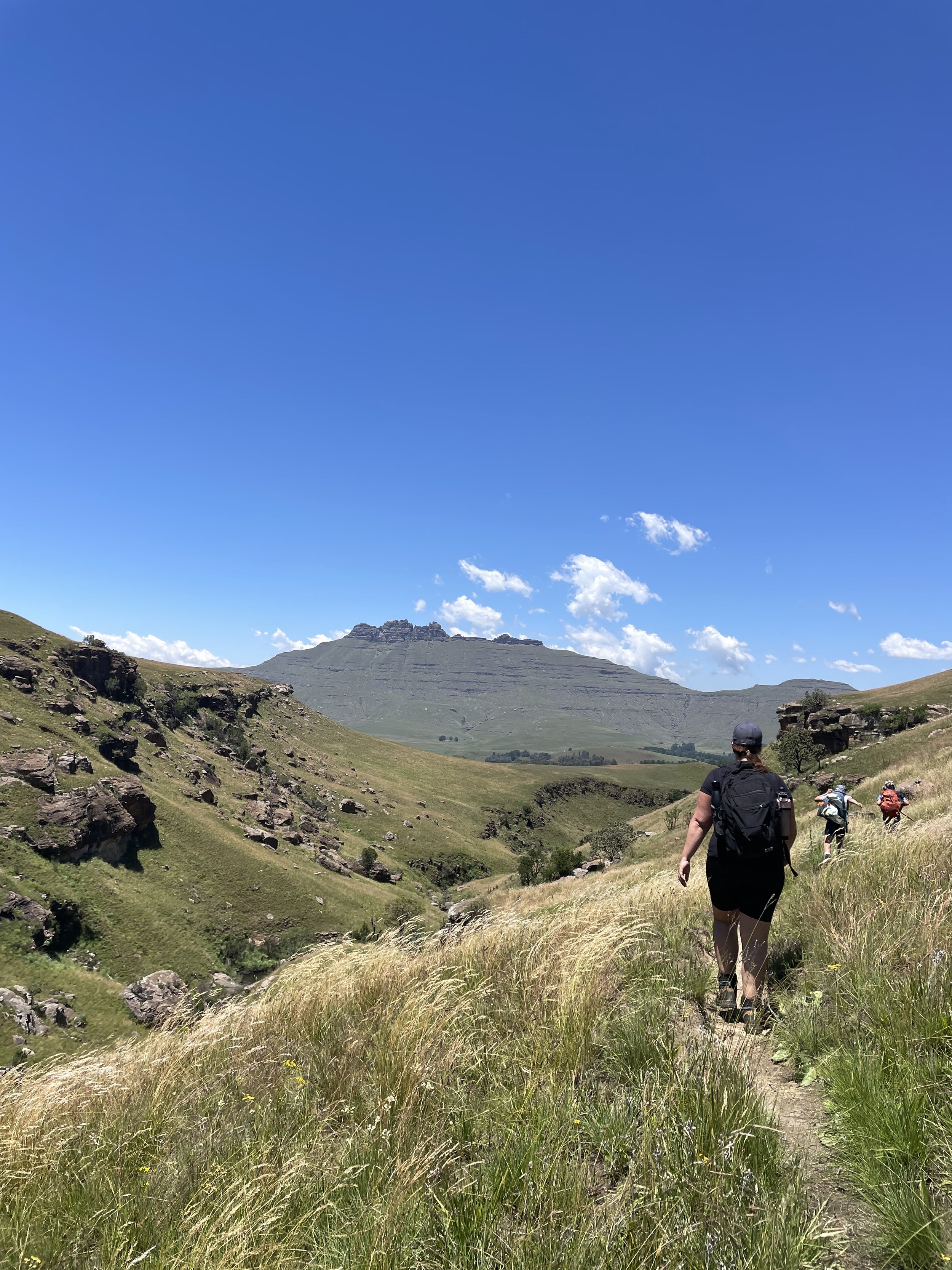
We never got sick of views like this
Drakensberg accommodation: the night before
Eating big before the hike begins
We actually began our journey in comfort! The night before we set out, we stayed in Sani Lodge Backpackers Accommodation, sleeping in rondavels (round thatched huts), with hot running water, soft bedding and heating. Such luxury would become a distant memory in the days to come but, for the night, we enjoyed a braai, a beer and a good night’s sleep. The next morning, a hearty breakfast awaited us in the restaurant, as well as lots of helpful info about what we could expect to see as we walked (see below for critters). After this, we set off on our journey.
Day One: Sani Pass to Pholela Hut - 15km
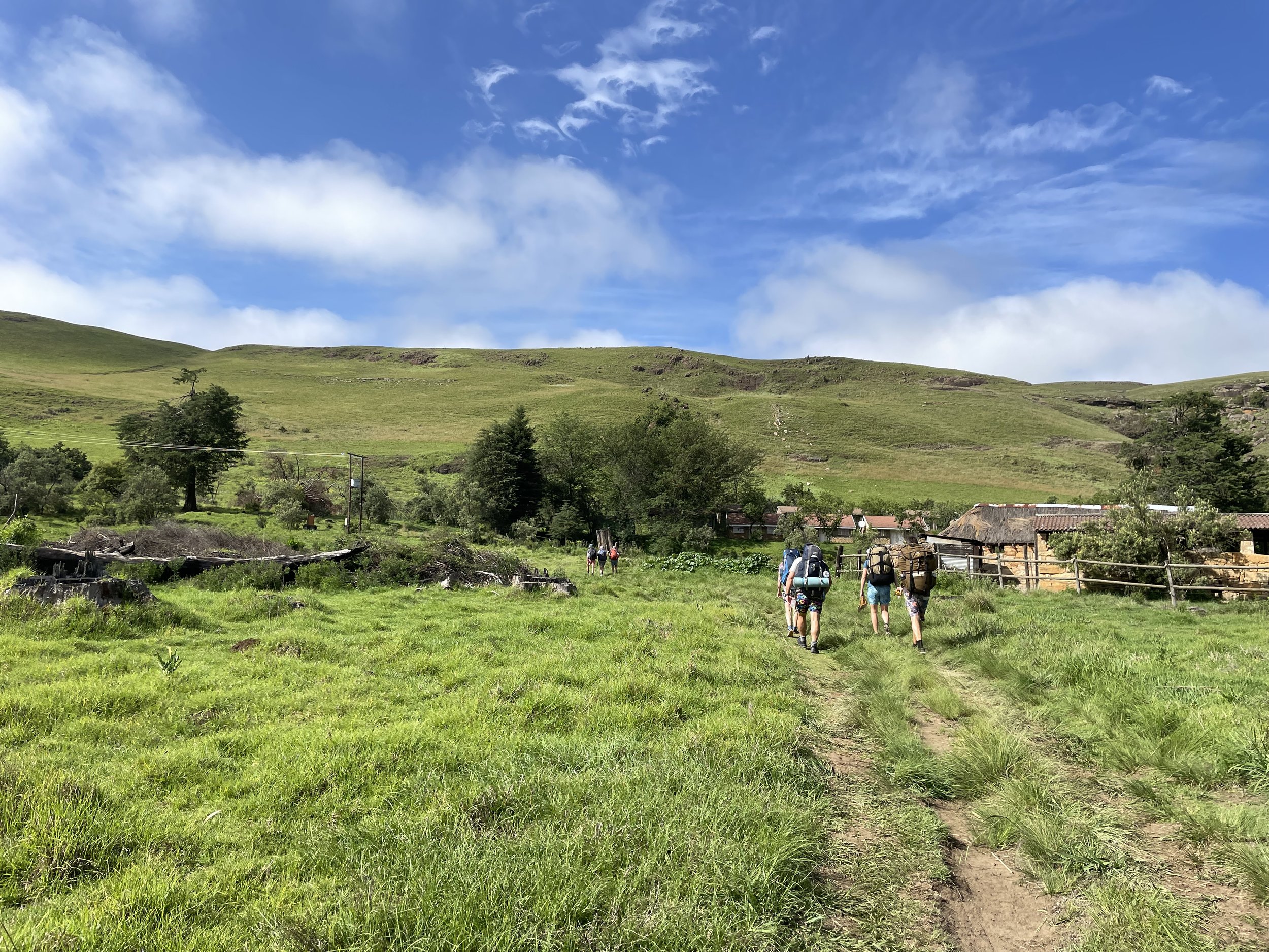
So it begins…
We didn’t actually begin at the official starting point in Compton, instead opting to hike two kilometres up the road and make our way into the berg from the sign marking the uKhahlamba Drakensberg Park World Heritage Site. After several kilometres, we would join the trail from a different point. Making our way up steep slopes in the blistering heat, packs weighing heavily on our waists and shoulders, we quickly began to understand the scale of the task ahead of us. It was pushing 32 degrees Celsius. It was sticky. We struggled.
Looking back on what felt like a serious climb
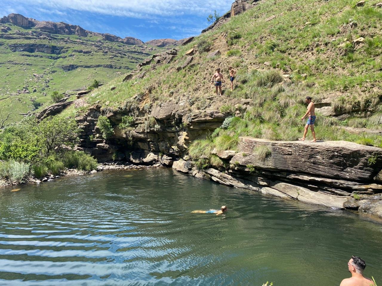
The saving grace as we made our way upwards was the rock pools, formed over millennia, as the river wound its way down from the mountains. It is not an understatement to say that we may not have made it without these cool, blue havens.
Fancy a dip?
After hiking for several kms, they were a welcome reset to our body temperatures, as well as an opportunity to refill our water bottles with clean, pure mountain water.
In we go…
One such pool was Ngawenya Pool (above), at which we joined the main trail after about 4.5km of hiking. A quick bite to eat and a long dip in the pool restored our energy and our spirits, before we made our way onward. We then climbed alongside Trout Beck stream, following the water as it wound through the mountains, before Pholela Hut appeared in the distance before us.
Trekking alongside Trout Beck stream
The final obstacle before you reach the hut is a tall, rickety bridge which takes you over the Pholela river, through Cobham campsite and up to the hut itself. With the walk up from Sani Lodge to our starting point, it had ended up being a 15km day and we were feeling it. We started the fire in the braai pit and enjoyed the best wors rolls we’d ever eaten, before warming up with a hot shower and curling up in bed.
Our first night’s rest
Day Two: Pholela Hut to Mzimkulwana Hut - 9km
Day two saw us leave Pholela Hut, turn right past the horse paddock and head straight up the hill. The climb ascends 200m over 3km and is steady, until you reach a plateau at the top, where the path levels out.
Heading for the hills
Then begins a manageable descent toward Mzimkulwana Hut over the remaining kilometres. As we made our way down, we crossed paths with another travelling troupe…
Those black dots on the hillside?
No less than 40 baboons! We stopped in our tracks for a while and just watched them on the opposite hill. Many of them sat perched on the ridge we were crossing, staring back. There were big alpha males and mothers with babies clinging on to their backs. It was quite a feeling, sharing the wild with these creatures that are so similar and yet so different to us. No cages, no land rovers, no protection. Just us and them.
The troupe watched us from the ridge as we passed
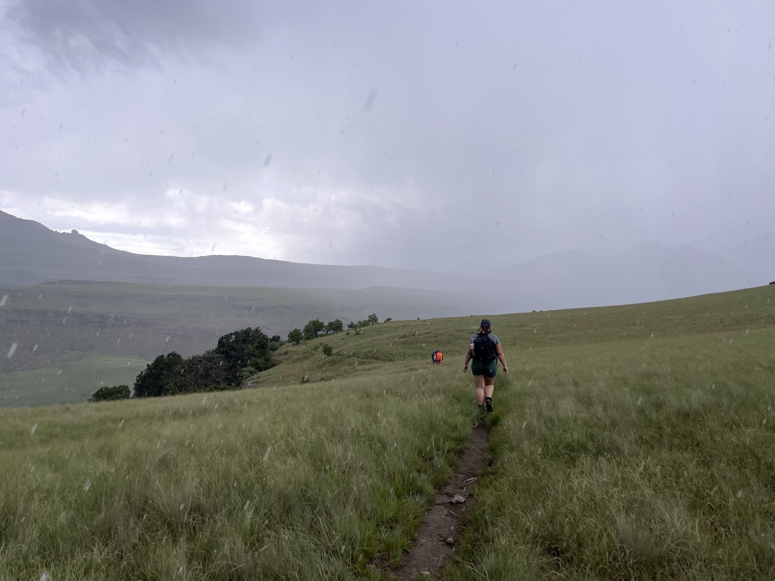
Once they’d moved on, we ventured forward ourselves. The weather until now had been hot and dry but, with the Drakensberg being a mountainous region, we knew to expect changes in weather to come very, very quickly. Looking in our direction of travel, we saw grey. We saw mist. We saw lightning and heard the ominous rumble of a thunderous storm…
We could see it as it barrelled toward us, rain flying sideways, and within 2 minutes, we were soaked through. We put our heads down and marched on into the wet.
Just keep moving…
20 minutes later, as quickly as the storm arrived, it abated, moving straight over us and onwards, in the direction from which we’d come. On we went, looking forward to the next hut and, hopefully, some sun, so we could dry off.
Mzimkulwana Hut awaited us in the valley
With it being a short walking day, we arrived at Mzimkulwana Hut in excellent time, crossing the Siphongweni river and laying out our clothes and gear to dry before midday. The sun came out, drying us off and warming us through.
We made it
Having arrived so early, we were left with plenty of time to relax, unwind, cook a bit and swim in the sizable pool just 30m from the hut. We’ve never enjoyed a pesto pasta and a sunset more!
Cool and refreshing
TAKE NOTE: Mzimkulwana Hut has bunk beds, but no mattresses. The hut is in close proximity to the Lesotho border, home of the Basotho tribe. They’re not a wealthy people, so are known to come down from the mountains and steal anything of value from this hut when left unguarded - which, being hidden away in the mountains, it always is. The rest of the huts have the luxury of mattresses, but this hut does not.
A sunkissed evening to remember
So, you have a decision to make - carry a roll-up mattress for the entire hike to make this night marginally more comfortable, or take the pain and sleep on the bare boards with just your sleeping bag for comfort?
We chose the latter. It was not a comfortable night. We woke with stiff bodies and aching joints but, all things considered, we were more glad not to have to carry the extra weight for the duration of the hike. Minutes into the next day’s walking, we had forgotten all about it.
Day Three: Mzimkulwana Hut to Winterhoek Hut, Garden Castle - 12.2km
A new day dawns on the bridge on the river Siphongweni
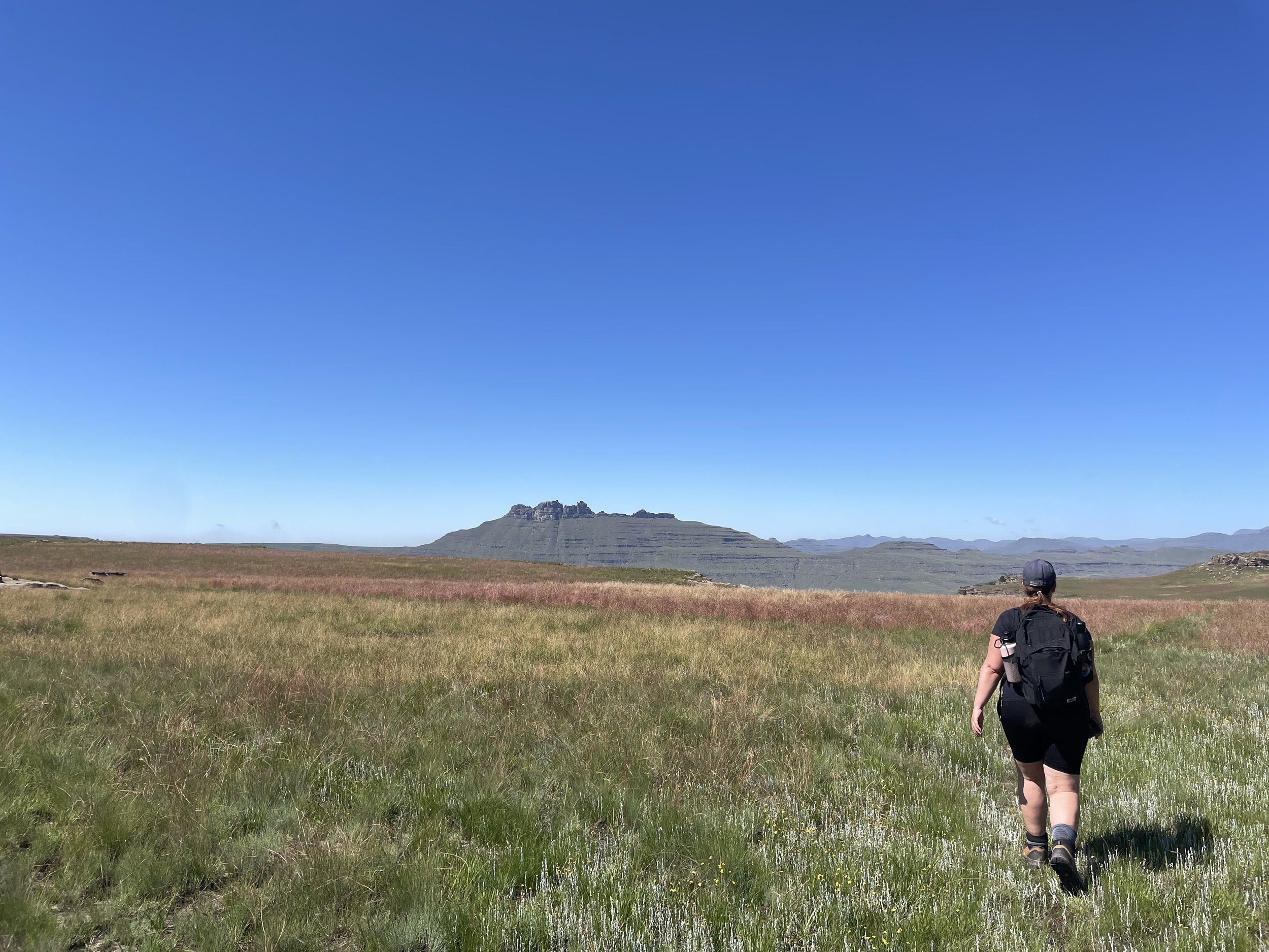
The sun rose on the third day. We crossed another rickety bridge and headed onwards across a plateau, before climbing Bamboo Mountain. Funnily enough, you’ll pass by “Little Bamboo Mountain” (2421m) as you go, which is actually taller than the regular Bamboo Mountain (2366m). Why is the little one taller than the big one? Couldn’t tell you. Regardless, you’ll climb 350m over the course of 4.5km. It was tough.
Making our way upward and onward
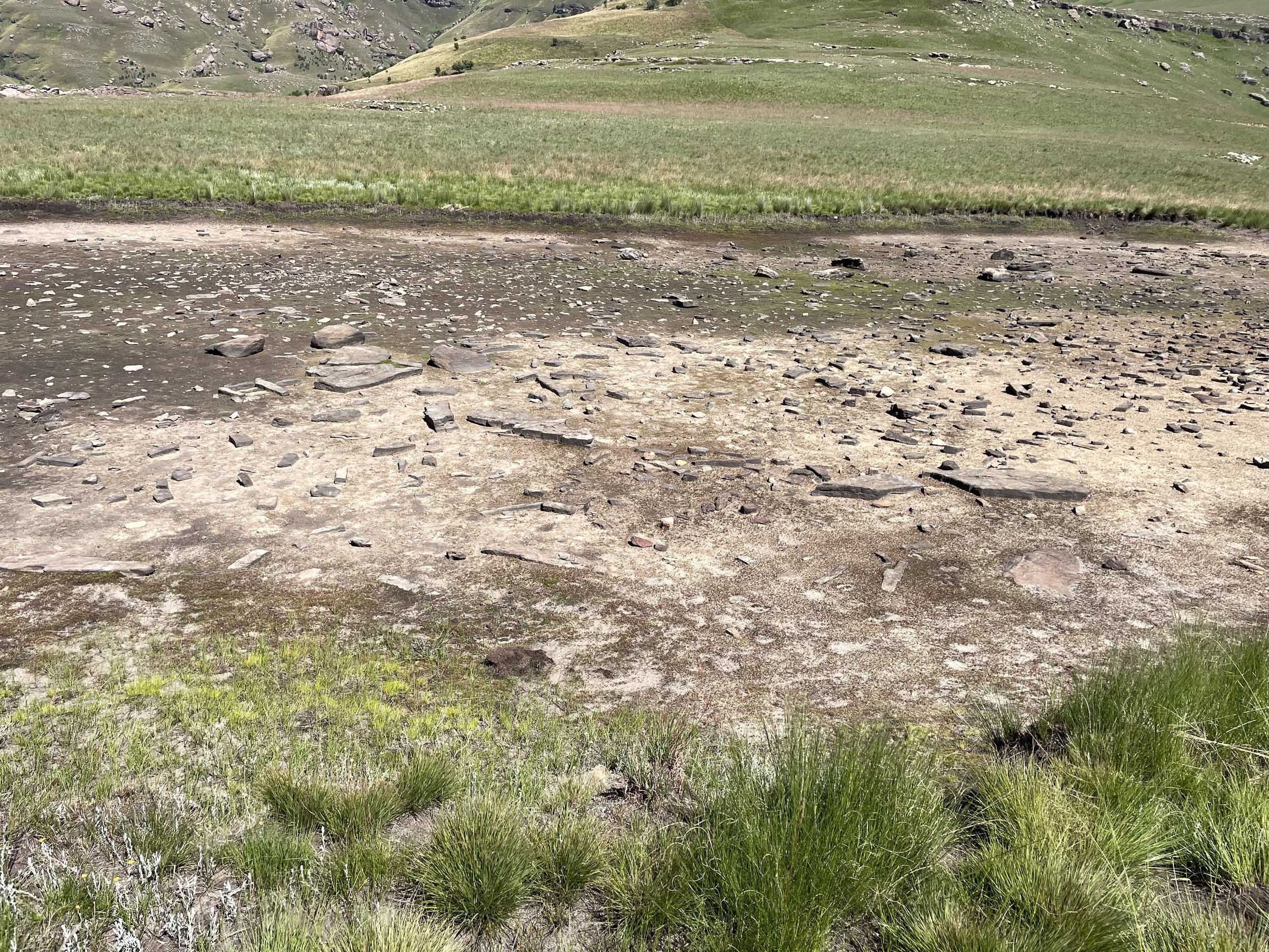
It was blisteringly hot and very dry. We sweated and drank and sweated and drank, desperate for a pool to fling ourselves into. Luckily, near the summit of Bamboo Mountain, the path runs alongside Crane Tarn - a mountain lake well known for cool, still waters and South Africa’s national bird; the rare Blue Crane! We couldn’t wait…
Major bruh moment
Hearts broke, heads dropped, pores leaked. It was the first time on this journey we’d felt genuinely gutted - mocked by an empty pool, without a crane in sight. We couldn’t let it keep us down. We carried on, reminding ourselves that it was (almost literally) all downhill from here.
Pressing on toward Giant’s Castle
Soon we began to work our way down, alongside Killicrankie stream. After about an hour, we did find our way to a pool, just a little way off from the main path. In we went, diving beneath the waterfall for a cold shock to wake us up and stave off the midday snooze, brought on by the baking hot sun.
We carried on, refreshed and renewed, as the path took us out of the mountains and on toward private land. We walked along a fence for a few hundred metres, where we were met with a choice: go through a gate on our left, leading through the fence and on into the farm beyond, or carry on along the path, which bends back to the right. Easy choice, right? Carry on along the path?
Possibly the most important picture of the whole journey
NO. Go through the gate and head down toward the farm. It’s slightly counterintuitive, but that is actually the official path of the Giant’s Cup Trail, despite the well-worn track leading off in the other direction. Another party - a hiking club - were doing the trail at the same time as us, but elected to carry on along the pathway. They traipsed into camp in dribs and drabs, hours after we had arrived, as the sun was going down. They had walked an additional 6km, making for an 18km day. Half of them quit the hike the next morning.
On the right track
We, however, went through the gate and carried on down to the main road for a couple of kilometres, before making our way across the Umzimkulu river. Here, you can turn left and make your way up a steep hill, before descending to Winterhoek Hut, or turn right and head down to the river.
Easiest choice we’d had all day
We downed our packs and jumped right in, before getting a pot of coffee going and relaxing by the riverbank until we felt like moving again. The sun was shining. The breeze was cool. We were there for a long, long time.
Extremely chilled
Eventually, we made our way over the hill, passing by a flock of Sacred Ibis. They flew off as we approached, as if to mock our tired legs with their grace and the ease at which they travelled. Despite our envy, they were a gorgeous sight to behold.
Flap
Within 30 minutes, we were at the camp, resting in the shadow of the breathtaking Giant’s Castle. We cooked another pasta dish (tuna, tomato and caper), played some cricket and drank some whisky as the sun slipped away and the clouds set in. We went to bed and slept soundly.
Winterhoek Hut rondavels in the cloudy shadow of Giant’s Castle
Side note: If you can avoid bathing at this hut, do so. The huts themselves are in extremely poor condition, with degrading thatch, dirty mattresses and blocked drains. There were also boxes of trash and leftover belongings from previous trekkers strewn about the place when we arrived.
Is this a threat
They’re not quite in a state of collapse, but the toilets are legitimately unpleasant. If you can shower in the morning at the previous hut, or wait until the day after, we recommend you do so!
The state
Day Four: Winterhoek Hut to Swiman Hut - 12.8km
The journey from Winterhoek to Swiman is a little different to the previous days as, while not the most difficult in terms of the hike or the distance, there are no pools or waterfalls along the way. You’ll need to fill up your bottles and, in fact, take extra water if you have vessels in which to carry it, as that’s all you’ll have for most of the day. The water in the taps at Winterhoek Hut runs a little brown, but we took a punt on it and were spared any regrettable side effects.
The crew prepare for another day
The day itself starts with a steep climb straight up toward Garden Castle, behind Winterhoek Hut rondavels. You’ll ascend 300m over the course of 4km which, we discovered, is a hell of a climb. You’ll need to be careful not to down all of your water as you go, as you still have the rest of the day to walk. There’s a balance to be struck, so take your time and stop as you need to.
The only way is up
At the top of the climb, you’ll reach Black Eagle Pass, which offers a view worth the trek in itself. As you climb, you’re likely to see (would you believe it) Black Eagles, as well as the colossal Cape Vulture, so keep your heads up as you go!
The unspeakable beauty of this place never got tiresome
Once you’ve reached the top, you’ll head along a more-or-less flat plateau for most of the remaining day, flanked by protea trees and stunning views on either side. You’ll eventually reach the end of the plateau, from which you’ll see a steep descent below you and the ranger’s office on the other side of the valley below. From here, you’re presented with two options. Choose carefully…
Pondering our next steps
Option 1: Take the main path to Swiman Hut
Follow the path down the hill and keep going to your left. Make your way along the traditional path, round to Swiman Hut and the ranger’s office.
Option 2: Detour to the Golf Club
Head down the hill, following the standard trail, but break away to the right when you see this really useful sign.
Really useful
From there, head through the gate before you and go straight ahead over the crest of the hill. Make your way down the path until you come to the Glengarry Golf Club, where they serve hot food and cold beer, in comfort, beside Drakensberg Gardens Dam.
Can you guess which way we went?
Before you ask, no, it is NOT cheating, as the detour down to the golf club is more or less the same distance as, if not a little longer than, the standard trail leading round to the hut itself.
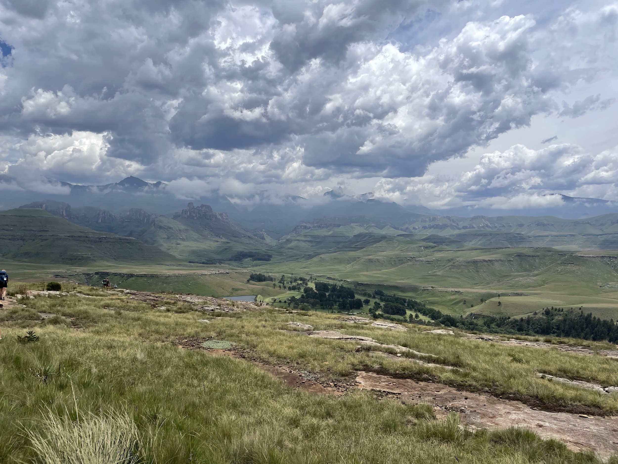
Drakensberg Gardens Dam down in the valley, with the Swiman Hut ranger’s office a little way behind
We were fortunate (and a little scared) to meet some more furry travellers up close as we made our way down. We kept together and tried to move swiftly without losing our footing, with the alpha males loudly encouraging us to keep moving as we went.
Up close and a little too personal for comfort
Once we arrived at the country club, we ordered beers, rock shandies, scones, chips and the biggest burgers we’d ever seen. It was all demolished in short order and, a few hours later, we were on our way with full bellies and full hearts. It was a massive momentum booster after what had been a long, dry day’s walking. A quick stop off for a dip at Hippo Pools as the food settled and we were on our way up to Swiman Hut.
A quick dip
Swiman Hut itself is a major upgrade on Winterhoek Huts, not necessarily in terms of location, but in the available facilities. There is hot water, electricity for charging and even a fireplace for those cold evenings in the winter.
We took no pictures because we were so tired but how cute is this fluffy sleeping moth
Please note: It turns out we were very fortunate regarding the availability of hot water and electricity as, apparently, both are notoriously unreliable. Be prepared for the prospect of a cold shower after a long day’s walk! All the same, the showers themselves are clean, as are the rooms and there’s plenty of firewood laid on in the living room. If you’re feeling up to it, there’s even a braai area outside for if you’ve been able to get your hands on some meat!
Our supplies had dwindled by this point, so it was pot noodles and chocolate for dinner, before an early night.
Day Five: Swiman Hut to Bushman’s Nek - 12km
The path awaits…
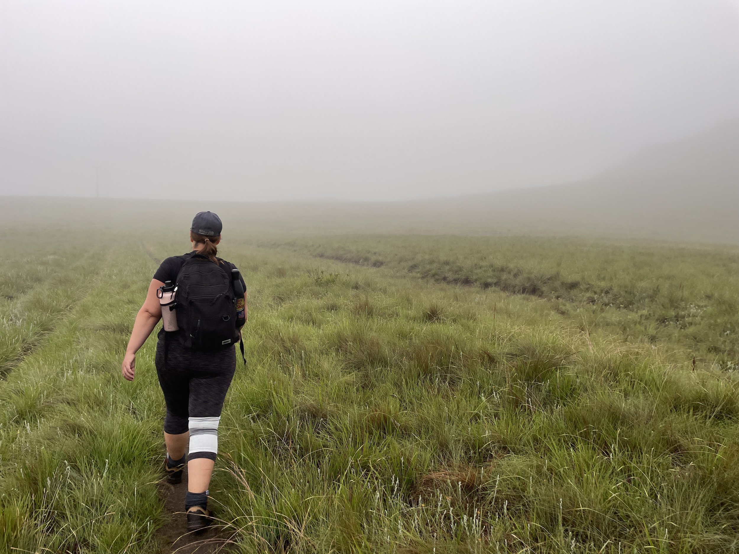
The final day. We awoke with a sense of accomplishment already sitting happily on our shoulders. Our packs, by contrast, weighed light, as we’d munched the last of our food, save for a few snacks. The weather, unfortunately, wasn’t so upbeat, with thick fog and drizzle the order of the day.
We hit the trail early
Nonetheless, we were optimistic as we set out. As an aside, another advantage of our little detour down to the golf club the day before was that we didn’t have to walk back on ourselves the following morning. Day five of The Giant’s Cup Trail begins by heading back on the previous day’s official trail for a kilometre, before you split away to the right at a fork in the path.
No panoramic vistas today
The mist was thick, the long grass heavy with dew. As we walked, it brushed by our calves, depositing moisture, which then trickled down our legs, into our boots. Before long, our feet were properly soaked through, for the first time on our journey. We put our heads down and pressed on, knowing that Bushman’s Nek and a short drive to a plate of hot food awaited us.
The Mzimude River crossing
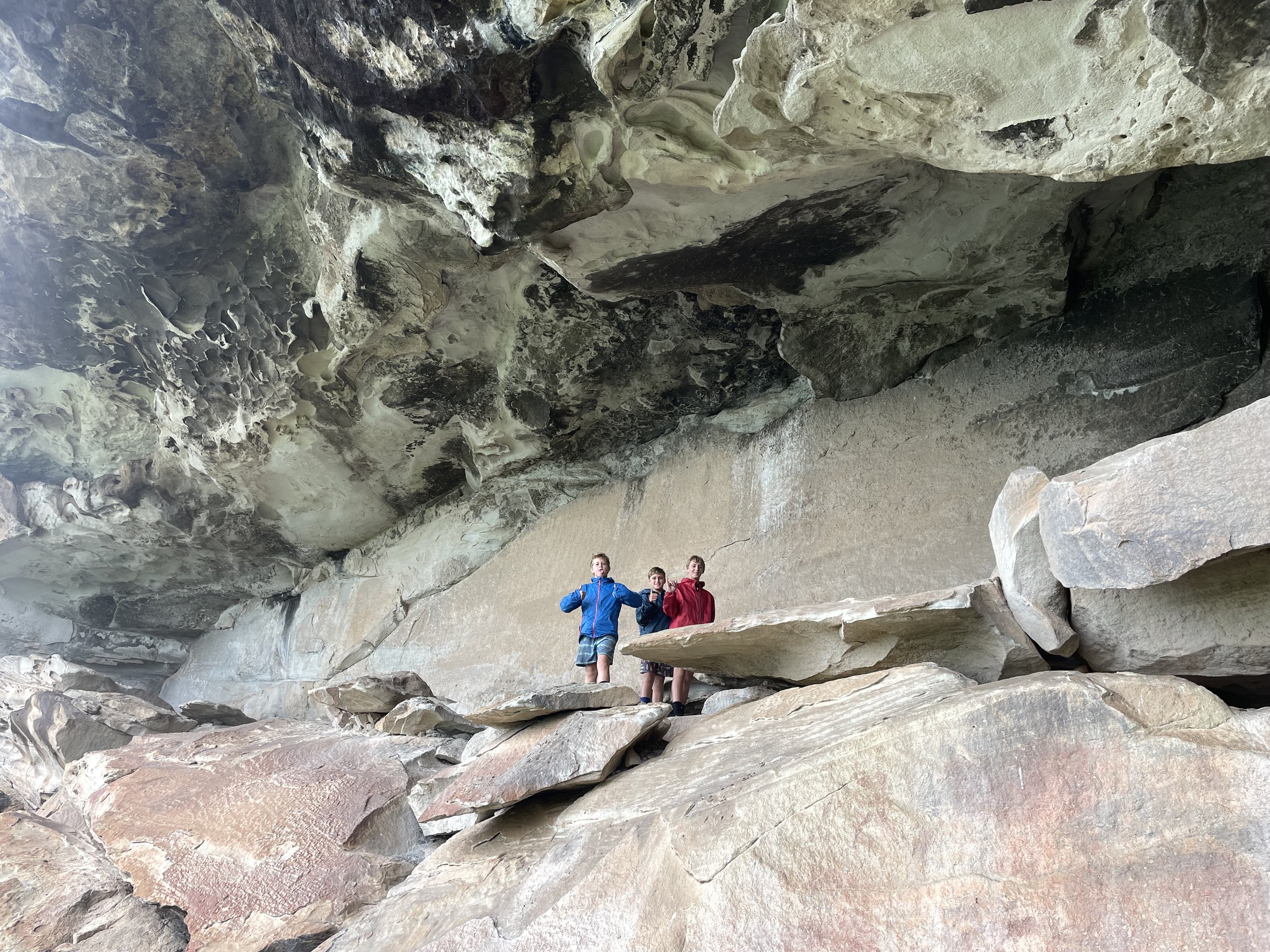
This final day is a tough one, with the path winding up and down, up and down. There are no flat sections, so prepare your calves accordingly. After roughly 7km of ascents and descents, you’ll come to Langalibalele Cave (try saying that after 5 days of hiking), a huge collapsed hollow in a rock-face - the perfect spot for lunch. We were running on scraps at this point, so it was guava roll and some tinned mussels for fuel. It did the job. The rain eased off, and we were on our way once again.
Taking refuge within Langalibalele cave
The food and the knowledge that we were so close to the finish line gave us renewed strength and fortitude. We powered through the last few kilometres in good spirits and, almost before we knew it, Bushman’s Nek was in sight. Down the hill we went, into the car park. We threw down our packs, kicked off our boots and almost stepped, barefoot, onto a scorpion. We didn’t care. What a sense of achievement!
Things almost ended badly
Should you hike The Giant’s Cup Trail?
As we’ve said, we’re not avid hikers. We’re not experienced but, my word, what an unbelievable journey and what an unbelievable way to immerse yourself in the South African wilderness. There are no work deadlines. No home troubles. No social media. Nothing at all except this incredible part of the world and the people you’re sharing it with.
Pure, unadulterated beauty
If you have plans near the Drakensberg Mountains, and have a spare 5 days to get lost in the wild, we couldn’t recommend the Giant’s Cup Trail enough. Only one question remains: where to hike next?
If you found this article useful and would like to support the channel, you can buy us our next coffee at the link below. Cheers!


